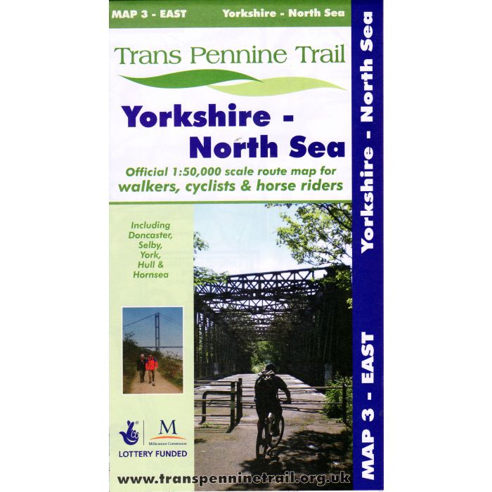
Trans Pennine Trail East
Map 3 - Yorkshire to North Sea
£5.95
In Stock
Usually dispatched within 24 hrs. Free delivery to UK for orders £25 and over
| Cordee Code: | CWP526 |
|---|---|
| Page Size: | 118 x 210 mm |
| Publisher: | Trans Pennine Trail Office |
| ISBN13: | 9780953227792 |
| Scale: | 1:50,000 |
| Author: | Trans Pennine Trail Project |
| Language: | English |
| Published Date: | January 2001 |
| Edition: | revised 2015 |
| Binding: | Sheet Map (folded) In Wallet |
| Weight: | 60g |
| Geoarea: | Pennines |
| Product Type: | simple |
| Countries: | United Kingdom |
One of three maps for walkers, cyclists & horse riders covering the TPT from the official stakeholders of the project.
This map covers the Eastern Section of the Trans Pennine Trail, from the mid-point of the Trail at Old Moor Wetland Centre, near Barnsley to the great port of Kingston upon Hull and on to the seaside town of Hornsea. This map also covers the northern extension from Selby to York and shows a walking, cycling and (where available) horse riding route.
* Route: RSPB Old Moor, Barnsley to Hornsea (via Selby and Hull). Plus the Selby to York link
* Distance: 107 miles. plus 15 miles on the York-Selby link. Much of the Trail is traffic-free.
* Scale: 1:50,000