We use cookies to make your experience better. To comply with the new e-Privacy directive, we need to ask for your consent to set the cookies. Learn more
Trans Pennine Trail West
Map 1 - Irish Sea to Yorkshire
£5.95
In Stock
Usually dispatched within 24 hrs. Free delivery to UK for orders £25 and over
| Cordee Code: | CWP524 |
|---|---|
| Page Size: | 117 x 210 mm |
| Publisher: | Trans Pennine Trail Office |
| ISBN13: | 9780953227778 |
| Scale: | 1:50,000 |
| Author: | Trans Pennine Trail Project |
| Language: | English |
| Published Date: | January 2001 |
| Edition: | Revised 2015 |
| Binding: | Sheet Map (folded) In Wallet |
| Weight: | 60g |
| Product Type: | Map |
| Countries: | United Kingdom |
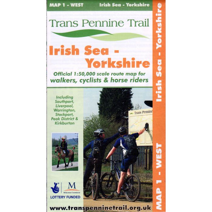
This map covers the Western section of the Trans Pennine Trail, from the Victorian seaside town of Southport on the Irish Sea and the City of Liverpool, to the mid-point of the Trail at Old Moor Wetland Centre, near Barnsley.
The Western section includes the Liverpool Loop line and the Cheshire Lines path, the Mersey Valley and passes through the Peak District National Park, and the market town of Penistone at the eastern foot of the Pennines. The map shows clearly the walking, cycling and (where available) horse riding route of the Trail.
One of three maps for walkers, cyclists & horse riders covering the TPT from the official stakeholders of the project.
* Route: Southport to RSPB Old Moor, Barnsley (via Liverpool, Stockport and Penistone) including the new link to Kirkburton.
* Distance: 120 miles, mostly traffic-free.
* Scale: 1: 50,000