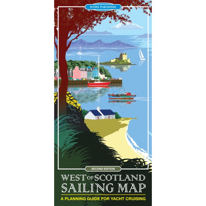
West of Scotland Sailing Map
A Planning Guide for Yacht Cruising
£10.95
In Stock
Usually dispatched within 24 hrs. Free delivery to UK for orders £25 and over
| Cordee Code: | CMB156 |
|---|---|
| Page Size: | 980 x 690 mm |
| No of Pages: | 1 |
| Publisher: | Rivers Publishing |
| ISBN13: | 9780995751323 |
| Author: | Mik McDonald |
| Edition: | 2nd, March 2018 |
| Binding: | Sheet Map (folded) |
| Weight: | 105g |
| Product Type: | simple |
| Countries: | Scotland |
This high quality topographical map is specially designed to show the `Big Picture' for the yachtsman planning to cruise in the West of Scotland. Scale: 1:350,000 (approx. 6 miles to an inch). It provides a unique combination of the best information shown on a conventional road map with selected nautical details. The map covers the sailing area from the Clyde to Ullapool and the Outer Hebrides as far north as Stornaway.
The topographical base map is a quite detailed and shows the information that is important to most visitors - towns, villages, roads, railways, stations, ferry crossings, airports, islands, bays, headlands, straits, mountains, relief, rivers and lakes with all this detail in slightly muted colours.
Over this is superimposed the sailing information - highlighted in bright colours to stand out - Marinas, pontoons, visitor moorings, selected anchorages, diesel supplies, areas with especially strong tidal streams, and a few selected pubs.
The format of the map is designed to be clear, convenient and user friendly.