Rafting Kayaking Central Nepal
White Water Rafting And Kayaking, Peter Knowles
£12.99
In Stock
Usually dispatched within 24 hrs. Free delivery to UK for orders £25 and over
Covering the central part of Nepal this map is part of a new set of 3 rafting and kayaking maps from the Himalayan Map House. It covers the rivers coming down from the regions around Manaslu, Annapurna and Dhaulagiri and covers Kathmandu as well.
| Cordee Code: | CMW635 |
|---|---|
| Page Size: | 125 x 246 mm |
| Publisher: | Nepa Publications |
| ISBN13: | 9789993347880 |
| Scale: | 1:500,000 |
| Author: | Nepa Maps |
| Published Date: | December 2011 |
| Binding: | Sheet Map (folded) |
| Weight: | 120g |
| Product Type: | simple |
| Countries: | Nepal |
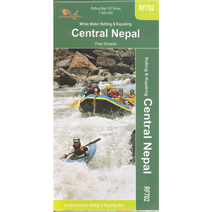
A comprehensive and detailed kayaking and rafting map for Central Nepal. Made in conjunction with Peter Knowles and giving river routes and river volume profiles. The key includes river grading and also suggested days on the water. All words are in English.
This central map covers from just past Kathmandu in the east (the capital is on this map) to Just before Tulsipur in the west.
It includes information about the main rivers in the area.
This central map covers from just past Kathmandu in the east (the capital is on this map) to Just before Tulsipur in the west.
It includes information about the main rivers in the area.
Other titles of interest:
-
-
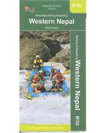 Rafting Kayaking Western NepalWhite Water Rafting And Kayaking, Peter Knowles£12.00
CMW636
In Stock