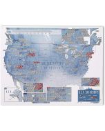
Ski Resort Map of the Alps
by Rail Air Road Ferry
£10.95
In Stock
Usually dispatched within 24 hrs. Free delivery to UK for orders £25 and over
| Cordee Code: | CMO054 |
|---|---|
| Page Size: | 1089 x 630 mm |
| No of Pages: | 1 |
| Publisher: | 2 The Alps |
| ISBN13: | 9781858797250 |
| Published Date: | February 2024 |
| Edition: | 2, Feb 2024 |
| Binding: | Sheet Map (folded) |
| Illustrations: | folded colour map |
| Weight: | 70g |
| Geoarea: | Alps Central Eastern Alps (austria, Switzerland, And Italy) |
| Product Type: | simple |
| Countries: | Italy |
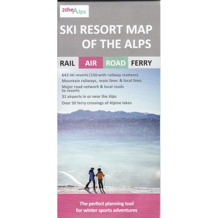
- Attractive, clear mapping showing the location of 640 indexed alpine resorts in Austria, France, Germany, Italy, Liechtenstein, Slovenia and Switzerland
- Mountain railways, local and high speed lines to help plan transfers from airports, or international travel by train
- Eurostar Ski Train route from St Pancras to the French Alps
-complete network of major roads across the region and Minor roads serving resorts
- Roads closed for winter shown
- Resorts directly accessible by train marked
-Large linked ski areas, such as the 3 Valleys and the Portes du Soleil region highlighted and indexed
- Main ferry services across the Alpine lakes that take you to, or close to, resorts
- The position of over 30 airports in, or near, the Alps, highlighting those with their own railway station for an easy onward connection
- Resorts with thermal spas included and indexed