Canadian Rockies Regional Map and Guide
£8.99
Temp Out Of Stock
| Cordee Code: | CCA100 |
|---|---|
| Page Size: | 115 x 250 mm |
| Publisher: | Gem Trek |
| ISBN13: | 9781895526929 |
| Scale: | 1:400,000 |
| Language: | English |
| Published Date: | August 2016 |
| Edition: | 12th edition |
| Binding: | Map And Guide |
| Weight: | 60g |
| Geoarea: | Rocky Mountains |
| Product Type: | simple |
| Countries: | Canada |
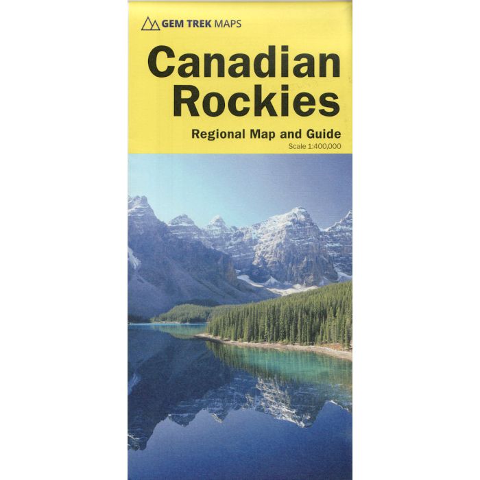
The CANADIAN ROCKIES MAP is Gem Trek?s most popular map and a must-have for anyone planning a trip to Banff, Jasper, Yoho, or Kootenay National Parks. To make seeing the sights easier, 29 of the best points of interest in the parks are numbered and described. To help you find your way around the Canadian Rockies, mountain lodges, campgrounds, hot springs, golf courses, ski resorts, picnic areas, visitor centres and highway viewpoints are labelled. A mileage chart helps you plan your day by giving distances between major towns.
In addition to street maps of Banff, Jasper, and Lake Louise on the reverse side, we have included charts showing amenities at the national park campgrounds in Banff, Jasper, Yoho and Kootenay National Parks.
In addition to street maps of Banff, Jasper, and Lake Louise on the reverse side, we have included charts showing amenities at the national park campgrounds in Banff, Jasper, Yoho and Kootenay National Parks.