Mont Blanc 292S
1:50,000 ski map inc Italian and French Sides
£21.99
In Stock
Usually dispatched within 24 hrs. Free delivery to UK for orders £25 and over
Ski touring map from SwissTopo covering the French and Italian sides of the Mont Blanc area - Chamonix, Les Contamines, Courmayeur, and Grand St-Bernard. 1:50,000 with trails marked for skiing, snowboarding and snowshoeing.
| Cordee Code: | CMZS30 |
|---|---|
| Page Size: | 130 x 190 mm |
| No of Pages: | 1 |
| Publisher: | Swisstopo |
| ISBN13: | 9783302202921 |
| Published Date: | November 2019 |
| Edition: | 2019 |
| Binding: | Sheet Map (folded) |
| Weight: | 50g |
| Product Type: | simple |
| Countries: | Switzerland |
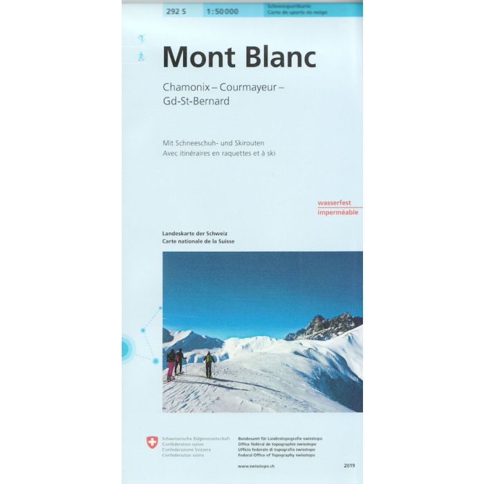
Ski touring map from SwissTopo covering the French and Italian sides (and a corner of Switzerland) of the Mont Blanc area - Chamonix, Les Contamines, Courmayeur, and Grand St-Bernard.
1:50,000 with trails marked for skiing, snowboarding and snowshoeing. Mountain hut contact details are listed. The reverse of the map includes the valley of St Gervais les Bains; Les Houches; Les Contamines-Montjoie at a 1:25,000 scale.
1:50,000 with trails marked for skiing, snowboarding and snowshoeing. Mountain hut contact details are listed. The reverse of the map includes the valley of St Gervais les Bains; Les Houches; Les Contamines-Montjoie at a 1:25,000 scale.