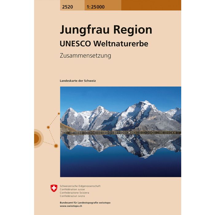
Jungfrau Region 2520
1:25,000 Composite
£21.99
Temp Out Of Stock
Map No. 2520, Jungfrau Region - STANDARD EDITION, in the topographic survey of Switzerland at 1:25,000 from Swisstopo, covering all the popular destinations of the eastern part of the Bernese Oberland, extending from Interlaken to the peaks of Eiger, Moch and Jungfrau, including Grindelwald, Lauterbrunnen, Wengen, Muren and Gimmelwald, Kleine Scheidegg and railway to Jungfraujoch, and the peaks Finsteraarhorn, Schreckhorn, Schwarzhorn, Schynige Platte, Schwalmere and Schilthorn.
| Cordee Code: | CMZ184 |
|---|---|
| Publisher: | Swisstopo |
| ISBN13: | 9783302025209 |
| Language: | English |
| Published Date: | March 2006 |
| Weight: | 90g |
| Product Type: | simple |
| Countries: | Switzerland |
Map No. 2520, Jungfrau Region - STANDARD EDITION, in the topographic survey of Switzerland at 1:25,000 from Swisstopo, covering all the popular destinations of the eastern part of the Bernese Oberland, extending from Interlaken to the peaks of Eiger, Moch and Jungfrau, including Grindelwald, Lauterbrunnen, Wengen, Muren and Gimmelwald, Kleine Scheidegg and railway to Jungfraujoch, and the peaks Finsteraarhorn, Schreckhorn, Schwarzhorn, Schynige Platte, Schwalmere and Schilthorn.
Swiss topographic survey at 1:25,000 covers the whole country on 247 small format sheets, with special larger maps published for popular regions including some titles now available in hiking versions. Highly regarded for their superb use of graphic relief and hill shading, the maps give an almost 3-D picture of Switzerland's mountainous terrain. Contours are at 10 m intervals, with 20m intervals in the mountainous areas. All the maps have a 1-km grid for Swiss national coordinates (datum CH 1903).
Swiss topographic survey at 1:25,000 covers the whole country on 247 small format sheets, with special larger maps published for popular regions including some titles now available in hiking versions. Highly regarded for their superb use of graphic relief and hill shading, the maps give an almost 3-D picture of Switzerland's mountainous terrain. Contours are at 10 m intervals, with 20m intervals in the mountainous areas. All the maps have a 1-km grid for Swiss national coordinates (datum CH 1903).