Arlberg Hiking Cycling amp Leisure Map
Lech
£12.90
Not Yet Published
This title has not yet been released. You may pre-order now and we will deliver it to you when it arrives.
Contact charlie@cordee.co.uk
Contact charlie@cordee.co.uk
Expected: 1st June 2024
| Cordee Code: | FB1630 |
|---|---|
| Page Size: | 100 x 205 mm |
| Publisher: | Freytag & Berndt |
| ISBN13: | 9783707923407 |
| Published Date: | June 2024 |
| Edition: | 2024 |
| Binding: | Sheet Map (folded) |
| Product Type: | simple |
| Countries: | Austria |
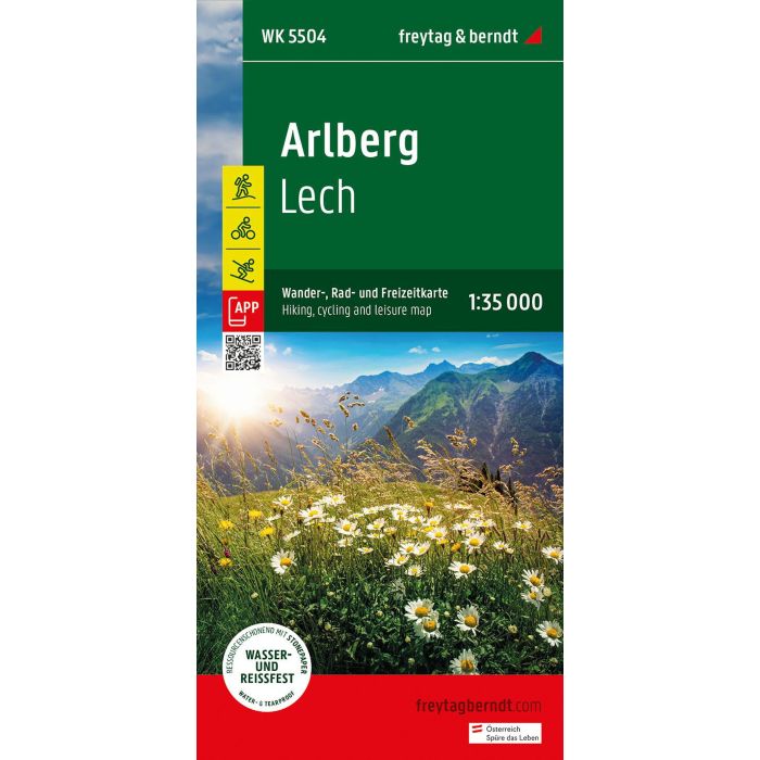
The Arlberg hiking, cycling and leisure map provides detailed information about the hiking and cycling trails in the Arlberg, Lech, Verwall Group, Klostertal and Stanzer Tal regions. With the hiking and cycling map you can ideally plan your tours and find out about the sights along the route.
Information about the Arlberg hiking and cycling map 1:35,000
Hiking and long-distance trails
Mountain bike and cycle paths
Ski route, cross-country ski trails
Rother-App
Waterproof and tear-resistant
Rother App
The linked free version of the Rother App offers a digital map with all the hiking trails as well as some sample tours in the region (free registration required).
Waterproof and tear-resistant
So that the Arlberg hiking map can also be used for orientation on rainy days, it is printed on a special waterproof and durable paper.
Manufactured using resources sparingly
The card is made of 80% ground limestone. The production process is much more resource-efficient than with conventional paper, as the consumption of water, wood and energy is significantly lower.
Printed in Austria.