Camino de Santiago 11 map set
Camino Frances - The Way of St James
£9.99
In Stock
Usually dispatched within 24 hrs. Free delivery to UK for orders £25 and over
The whole of Way of St James to Santiago de Compostela in a set of 11 maps: 10 double-sided topographic maps at 1:50,000 plus an overview map of northern Spain, published by the Spanish civilian survey organization.
| Cordee Code: | CMM229 |
|---|---|
| Page Size: | 46 x 140 mm |
| No of Pages: | 11 |
| Publisher: | Centro Naccional Info Geograpf |
| ISBN13: | 8423434120519 |
| Scale: | 1:50,000 |
| Published Date: | April 2010 |
| Binding: | Map And Guide |
| Illustrations: | Colour maps |
| Weight: | 700g |
| Product Type: | simple |
| Countries: | Spain |
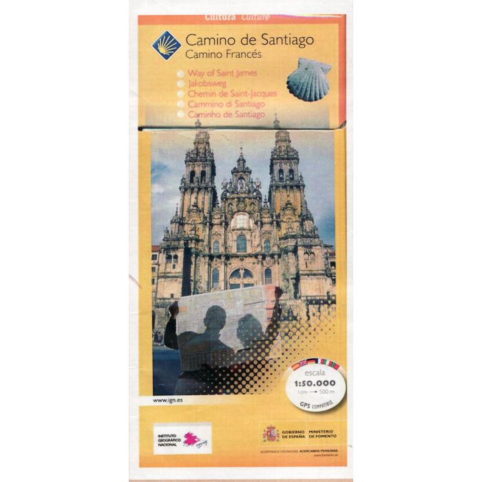
The whole of Way of St James to Santiago de Compostela in a set of 11 maps: 10 double-sided topographic maps at 1:50,000 plus an overview map of northern Spain, published by the Spanish civilian survey organization. Descriptions in 6 languages; English, French, Spanish, German, Italian & Portuguese
Each 1:50,000 map is double-sided and has four 57 x 35cm panels with full topographic mapping of the area through which the route passes. Contours are at 50m intervals, with additional shading and colouring/graphics to show several different types of land cover (forests, meadows, olive groves, vineyards, etc.) An overprint highlights the route and its variants. Although the maps, given their scale, are primarily designed for walkers, where appropriate alternatives for cyclists are also marked. Icons indicate various related historical monuments. The maps have a 1km UTM grid, plus margin ticks for latitude and longitude.
Each title also has route profiles for the sections covered by it, plus panels presenting the route annotated with various facilities available in local towns and villages: accommodation, restaurants, food shops, access to trains or busses, bicycle repair shops, etc. The last map has just two panels with 1:50,000 maps but provides on the reverse an aerial view of Santiago de Compostela showing the route from the city's outskirts to the centre, plus a detailed street plan of the centre at 1:3,500 approx. highlighting its famous buildings and recommending four sightseeing routes.
Completing the set is a double-sided, somewhat basic map of northern Spain at 1:500,000 showing the network of main roads plus railways. The overprint highlights only the main route, as presented on the 1:50,000 maps - the coastal variant is not covered. Topography is indicated by relief shading with names of main mountain ranges.
Packaged in paper envelope.
-
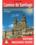 Camino de SantiagoWay of St James from the Pyrenees to Santiago de Compostela£14.99
CWE255
In Stock