Peak District Cycle Map 18
Manchester, Leeds, Derby and Sheffield
£8.99
In Stock
Usually dispatched within 24 hrs. Free delivery to UK for orders £25 and over
| Cordee Code: | CCY335 |
|---|---|
| Page Size: | 105 x 163 mm |
| No of Pages: | 2 |
| Publisher: | Cycle Maps Uk |
| ISBN13: | 9781904207733 |
| Scale: | 1:100 000 |
| Published Date: | July 2022 |
| Edition: | 1st July 2022 |
| Binding: | Waterproof Map (folded) |
| Illustrations: | Full colour mapping |
| Weight: | 50g |
| Geoarea: | Peak District |
| Product Type: | simple |
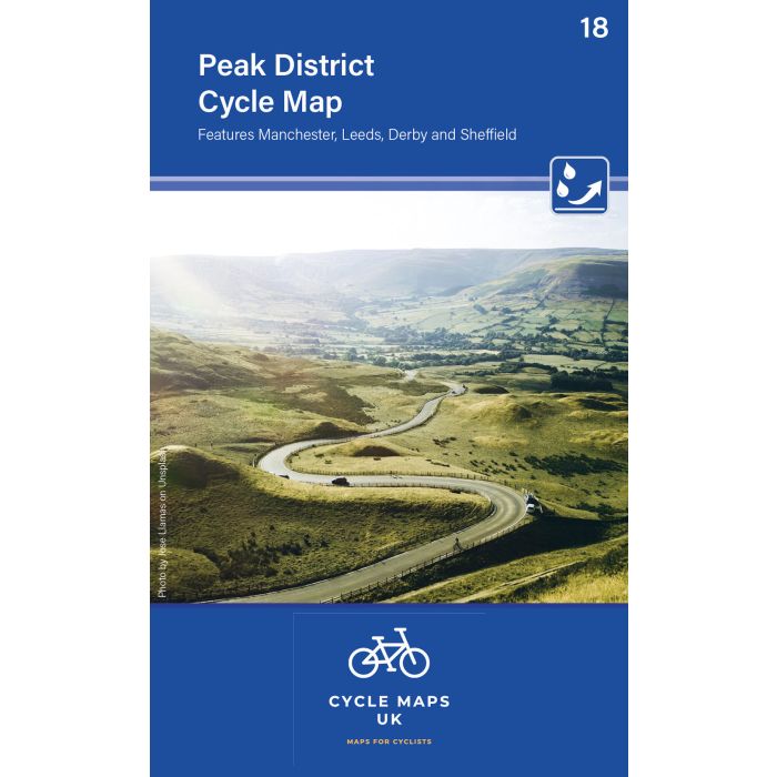
The next map in the Cycle Maps UK series covers the Peak District and the surrounding cities of Manchester, Leeds, Derby and Sheffield.
The maps are all produced at a scale of 1:100 000 showing important features including the National cycle Network. Sections on road, off road and traffic free are all shown in differing colours along with their route number. Other roads and their classification are shown enabling you to link rides or explore sections and discover new routes at home or further afield.
Facilities such as toilets, pubs, accommodation, bike shops, repair stations and railway stations are all shown. The mapping also has relief shading giving you a clear picture of the terrain (and steepness of any hills) you will encounter.
Scale: 100 000 (10mm = 1 Km, 16mm = 1 Mile)
Folded size: 163mm x 105mm
Unfolded: 650mm x 800mm
Tear and water-resistant paper
Double sided