Isola dElba
1:25,000 walking map
£11.99
Temp Out Of Stock
| Cordee Code: | CME258 |
|---|---|
| Page Size: | 125 x 175 mm |
| No of Pages: | 32 |
| Publisher: | L'escursionista Editore |
| ISBN13: | 9788898520435 |
| Binding: | Sheet Map (folded) In Wallet |
| Weight: | 140g |
| Product Type: | simple |
| Countries: | Italy |
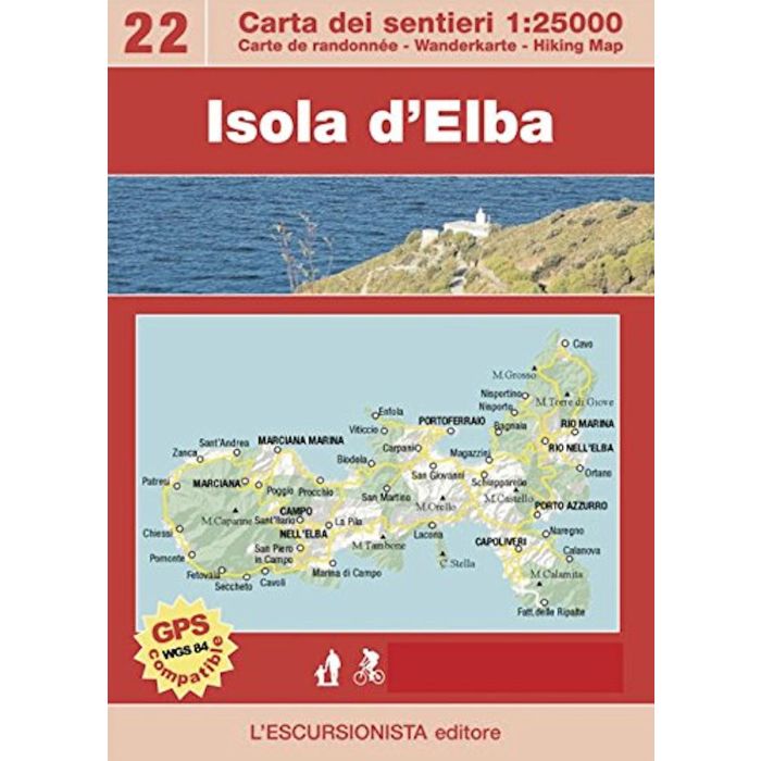
Isola d'Elba's hiking and MTB map at a 1:25.000 scale with a WGS84 grid (1km). All data has been gathered by walking each route with a GPS device. 32 page guide-book which includes
The Great Elban Traverse The Great Elban Traverse trek follows a mountain ridge high above the crystal clear blue sea and the scents of the Mediterranean maquis, in the heart of the Parco Nazionale dell'Arcipelago Toscano. Four stages explore the backbone of the island from north-east to west, from Cavo all the way to Patresi or Pomonte, with overnight stays in lovely villages where the local cuisine can be enjoyed. Elba was Napoleon's island for a short but significant period. A number of variants are given so that walkers can modify the route according to personal needs, and full details are provided for preparing the trek.
The Great Elban Traverse The Great Elban Traverse trek follows a mountain ridge high above the crystal clear blue sea and the scents of the Mediterranean maquis, in the heart of the Parco Nazionale dell'Arcipelago Toscano. Four stages explore the backbone of the island from north-east to west, from Cavo all the way to Patresi or Pomonte, with overnight stays in lovely villages where the local cuisine can be enjoyed. Elba was Napoleon's island for a short but significant period. A number of variants are given so that walkers can modify the route according to personal needs, and full details are provided for preparing the trek.