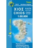
Chios 160000
Incl city map of Chios Town and nearby islands
£8.99
In Stock
Usually dispatched within 24 hrs. Free delivery to UK for orders £25 and over
Chios at 1:60,000 on a contoured, GPS compatible hiking map published by Terrain Maps and printed on light, waterproof and tear-resistant Polyart plastic paper, with extensive tourist information.
| Cordee Code: | CMG176 |
|---|---|
| Page Size: | 125 x 250 mm |
| Publisher: | Terrain Cartographic Pc |
| ISBN13: | 9789609456043 |
| Scale: | 1: 60,000 |
| Edition: | 2010 |
| Binding: | Waterproof Map (folded) |
| Weight: | 150g |
| Product Type: | simple |
| Countries: | Greece |
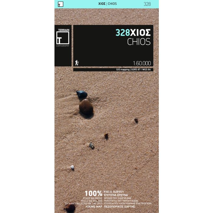
Chios at 1:60,000 on a contoured, GPS compatible hiking map published by Terrain Maps and printed on light, waterproof and tear-resistant Polyart plastic paper, with extensive tourist information.
Topography is very well presented by contours, enhanced by spot heights, subtle relief shading and additional altitude colouring. Contour interval, unless indicated below to the contrary, is 20m. National parks and other protected areas are marked. All place names are shown in both Greek and Latin alphabet. The maps have a UTM grid, plus latitude and longitude margin ticks.
Hiking trails are graded between main routes and narrow trails. A wide range of symbols indicate various places of interest and recreational facilities, with main sights clearly highlighted. Most titles distinguish between sandy and pebble beaches; some also indicate beaches with natural shade and/or the type of sea bed.
In this title: contour interval is 100m. Coverage includes the nearby island of Inousses (Inousa). On the reverse is a large street plan of Chios town at 1:4,000 annotated with various facilities, are descriptions of three specially selected hiking trails, plus general information about the island.
Map legend and all the text include English.