We use cookies to make your experience better. To comply with the new e-Privacy directive, we need to ask for your consent to set the cookies. Learn more
Bregenzerwald Hiking, Cycling & Leisure Map
1:50.000
£12.90
In Stock
Usually dispatched within 24 hrs. Free delivery to UK for orders £25 and over
| Cordee Code: | FB1618 |
|---|---|
| No of Pages: | 1 |
| Publisher: | Freytag & Berndt |
| ISBN13: | 9783707923377 |
| Scale: | 1:50 000 |
| Published Date: | May 2024 |
| Edition: | 2024 |
| Binding: | Sheet Map (folded) |
| Weight: | 105g |
| Product Type: | Map |
| Countries: | Switzerland |
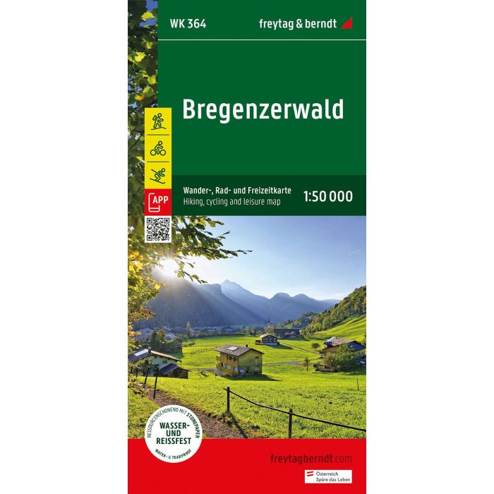
Thanks to the detailed digital cartography and precise scales, freytag & berndt hiking maps are ideal companions for hiking, mountaineering and ski tours. The "Bregenzerwald Hiking Map 1:50,000" is regularly revised and contains updated information on hiking trails, cycling and mountain bike routes, huts, natural monuments, cultural sights and leisure facilities. The enclosed information booklet contains a selection of the best hiking trails, cycle paths and mountain bike routes as well as a brief description of the individual communities and their leisure activities. (Language: German) Leisure information, hiking and long-distance hiking trails, mountain bike and cycling tours, location register with postal codes, GPS compatible, via ferrata, ski route, cross-country ski route, Nordic walking route; Region: Bregenzerwald, Kleinwalsertal, Gro?es Walsertal, Vorarlberg, Austria, Allg?u Alps; Special themed hiking trails: Northern Alpine Trail, Central Alpine Trail, Pre-Alpine Trail, St. James Way, Via Alpina, family hike to the Diedamskopf, circular hiking trail to the Hohe Kugel; Special cycling and mountain bike tours: Rhine Valley cycle path, Lake Constance cycle path, Bregenzerwald cycle path, Auf der Hohe Kugel, Kleinwalsertaler T?lerrunde; Environment maps: WK 351, WK 374, WK 375, WK 5364, WK 5374, WK D10;