We use cookies to make your experience better. To comply with the new e-Privacy directive, we need to ask for your consent to set the cookies. Learn more
Andros (10.27)
1:27,000
£8.50
In Stock
Usually dispatched within 24 hrs. Free delivery to UK for orders £25 and over
| Cordee Code: | CMG236 |
|---|---|
| Page Size: | 115 x 220 mm |
| Publisher: | Anavasi |
| ISBN13: | 9789608195745 |
| Author: | Anavasi |
| Published Date: | June 2024 |
| Edition: | 2024 |
| Binding: | Sheet Map (folded) |
| Weight: | 90g |
| Product Type: | Map |
| Countries: | Greece |
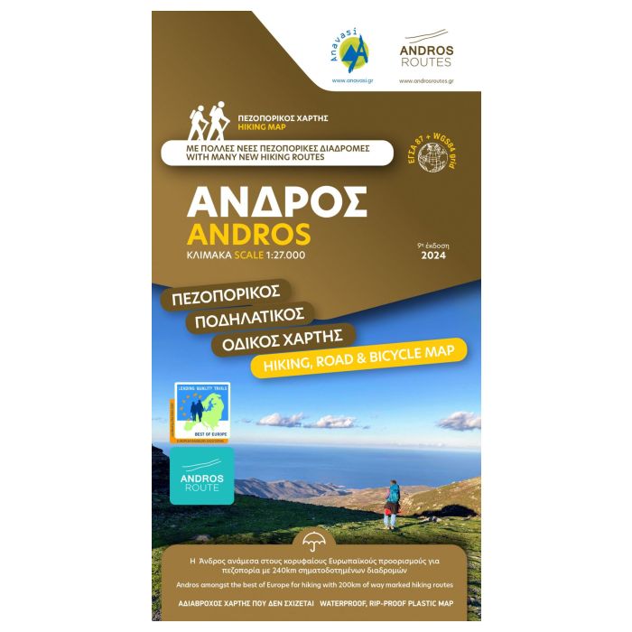
Hiking map of Andros at a scale of 1:27,000.
A walking and cycling map of Andros at a scale of 1:27 000 has been published in collaboration with the local Andros Routes group which has undertaken the opening, maintenance and marking of the paths. Includes tables with all marked routes. On the map you will find many beautiful routes that cross the island from one end to the other. At the same time it contains all the beaches, settlements, churches and attractions.
Andros is a large island (374 sq km or 147 sq miles), mountainous, with rich vegetation in several parts of the island and abundant running water, as testified by more than 150 watermills. Chora, the main settlement of Andros, has many neoclassical houses, an interesting archaeological museum, and a particularly active museum of modern art that hosts interesting exhibitions every year.
New Edition 2024
Printed on polyart paper, a waterpoof paper ideal for hiking